

Google Maps is an online mapping service that lets you view satellite images, city maps, and road routes. But did you know that Google Maps can also tell you the altitude of a location ? Whether you're planning a hike, checking the elevation profile of a route, or simply curious, there are several ways to display the altitude on Google Maps. In this article, we'll explain how to find the altitude of a location on Google Maps, whether you're using a computer or a smartphone.
Display the altitude on Google Maps on a computer
On your computer, go to Google Maps.

In the top left corner of the screen, find the location whose altitude you want to know . Once the location is visible on the screen, click on the " Layers " panel in the bottom right corner of the map. Then choose the " Relief " option to display the contour lines that represent the variations in altitude.
To find the exact altitude of a specific point, simply right-click on it and select "Measure distance". A window will then appear with the GPS coordinates of the point (latitude and longitude) as well as its altitude in meters above sea level.
Display the altitude on Google Maps on a smartphone
On your Android or iOS smartphone, open the Google Maps application.
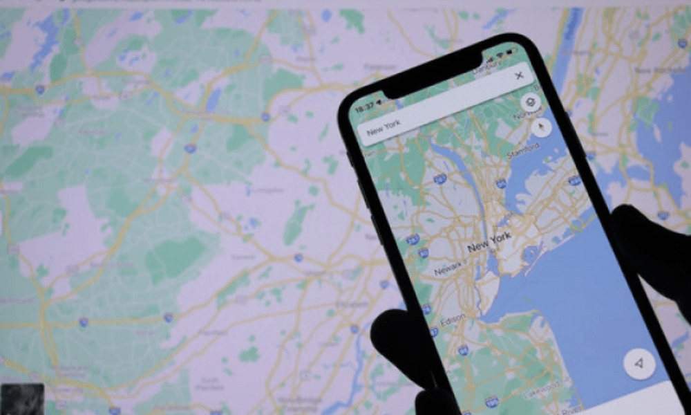
Enter an address or general location in the search bar, then tap the layers icon in the top right corner of the map. It's a square with two horizontal lines. Next, select the " Terrain " option to display contour lines.
To find the exact altitude of a specific point, simply press and hold it until a red marker appears. Then tap the location name at the bottom of the screen to open its detailed information. Scroll down to the " Coordinates " section where you will find the altitude in meters above sea level.
Some tips for displaying altitude on Google Maps
- If you want to know the altitude of a place without having to search for it on Google Maps, you can use a dedicated website like CalcMaps.com which allows you to enter an address or GPS coordinates and get its altitude instantly.

- If you want to know the elevation profile of a route, that is, the change in altitude between the starting point and the arrival point, you can use a website like gpx2kml.com which allows you to trace your route on Google Maps and generate a GPX or KML file that you can then view on Google Earth or on mapping software.

- If you want to know the altitude of several points at the same time, you can use a website like gpsvisualizer.com, which allows you to create a custom map with points of different colors depending on their altitude. You can also import a GPX or KML file containing geolocated points.
FAQ
What is the difference between altitude and elevation?
Altitude is the height of a point relative to mean sea level, while elevation is the height of a point relative to the ground. For example, if you are at the summit of a mountain that is 3,000 meters high and you are 100 meters above the ground, your elevation is 100 meters.
What is the highest altitude reached by a human being?

The highest altitude ever reached by a human being is 38,026 meters, achieved during the Strato-Lab V stratospheric balloon flight on May 4, 1961.The two American pilots, Malcolm Ross and Victor Prather, reached this record altitude before parachuting back down. Tragically, Prather drowned after landing in the Gulf of Mexico due to a leak in his spacesuit.
What is the lowest altitude reached by a human being?
The lowest altitude ever reached by a human being is -10,911 meters, achieved during a dive into the Mariana Trench on March 26, 2012.Canadian filmmaker James Cameron reached this record depth aboard the submersible Deepsea Challenger. He spent approximately three hours at the bottom of the trench, where he filmed and collected samples.
What is the average altitude of the Earth's surface?
The average altitude of the Earth's surface is approximately 840 meters. However, this value varies depending on the continent and region. For example, theaverage altitude of Asia is 950 meters, that ofEurope is 340 meters, that of Africa is 750meters, that of North America is 760 meters, that of South America is 600 meters, that of Oceaniais 330 meters , and that ofAntarctica is 2,300 meters. The average altitude of land is therefore higher than that of the oceans, which is approximately -3,700 meters.
Conclusion
You now know how to display altitude on Google Maps, whether on a computer or smartphone. There are several methods to find the altitude of a location, whether using contour lines, measuring a distance, or using specialized websites. Altitude is useful information for hiking, cycling, or geography enthusiasts. Another interesting feature of Google Maps is the ability to create a Dropped Pin, which allows you to mark a specific location on the map with a pin. This lets you easily share an address, save a place , or calculate a route. Feel free to share this article with your friends if you found it helpful!

